The river Loing and its canal
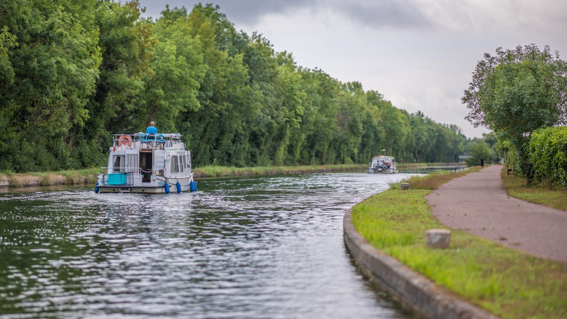
In the 17th century, when arriving on the Loing, boats had to pass through 26 rather dangerous sluices. Accidents became more frequent as the number of boats increased. To reduce the difficulties and dangers of navigation, the Duke of Orléans planned to create a canal partially lateral to this river. In 1719, Louis XV authorized him to build the Loing canal linking the Briare and Orléans canals from the hamlet of Buges (near Montargis) to the confluence with the Seine at Saint-Mammès. In the same year, an infantry troop of about 4,000 men began the work, which lasted five years. Located opposite the Buttes lock in Nemours, the 18th century canal house was the headquarters of the administration which collected tolls and fines related to navigation.
The canal is 50 km long, has 19 locks and descends 35 metres to the Seine. Today, commercial traffic has decreased significantly, leaving room for river tourism. The towpath, used by animals or men to pull boats before the invention of the motorboat, has now become a place for walking or cycling. The EuroVelo 3, which will soon cross Europe over 1,500 km, from Trondheim in Norway to Santiago de Compostela in Galicia, passes along this route.
The Loing flows through the municipalities of Bagneaux-sur-Loing , Nemours , Saint-Pierre-lès-Nemours , Grez-sur-Loing and Moncourt-Fromonville .
More about the Eurovelo 3 Pilgrims route (EV3)